Connexion
Toutes les ressources
Créer un design
728 Images gratuites de Far West
historique
états-unis
ruée vers l'or
cow-boy
histoire
antiquité
exploitation minière
amérique
montana
ancien
école
or
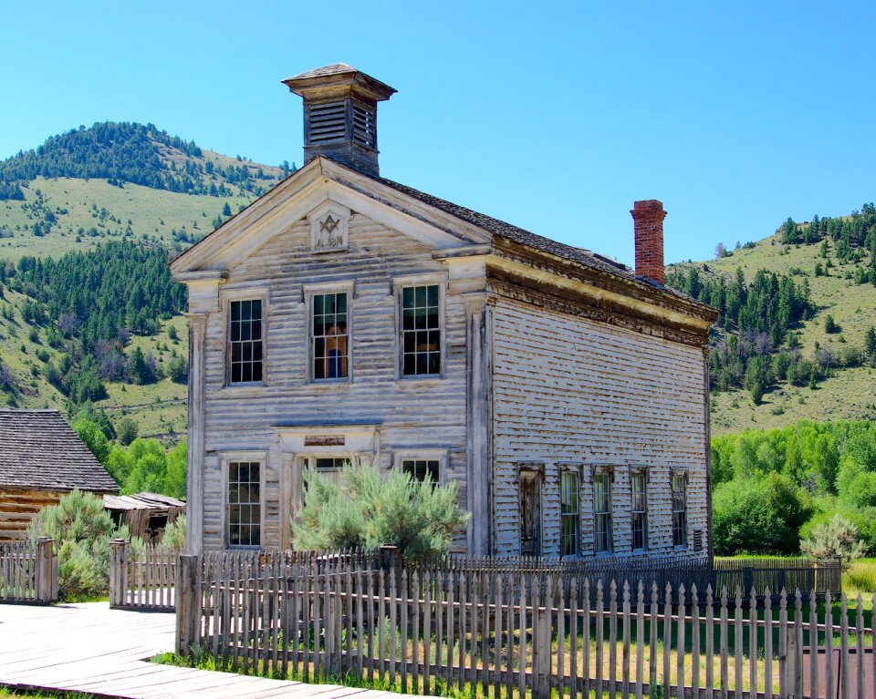
bâtiment
véhicule
bâtiment
paysage
cow-boy
western
symbole
étoile
école
or
historique
histoire
masques
cow-boy
cow-boy
chevaux
bâtiment
corps
états-unis
cow-boy
masques
cow-boy
bâtiment
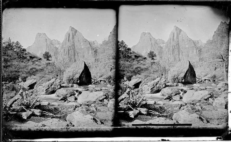
paysage
bâtiment
paysage
transport
histoire
transport
histoire
états-unis
voyage
états-unis
voyage
cow-boy
western
aéronefs
avion
états-unis
cow-boy
états-unis
voyage
bâtiment
paysage
arme de projectile
arme
symbole
drapeau
bâtiment
paysage
bande dessinée
cow-boy
bâtiment
voyage
meubles
corps
états-unis
voyage
panorama urbain
voyage
états-unis
voyage
cow-boy
filles
virginie
véhicule
voyage
virginie
601 - 700 sur 728
Page suivante
/ 8